Original project title: Landschaft als KulturErbe. Transformation einer Bergbaulandschaft in Sachsen im 20. Jahrhundert
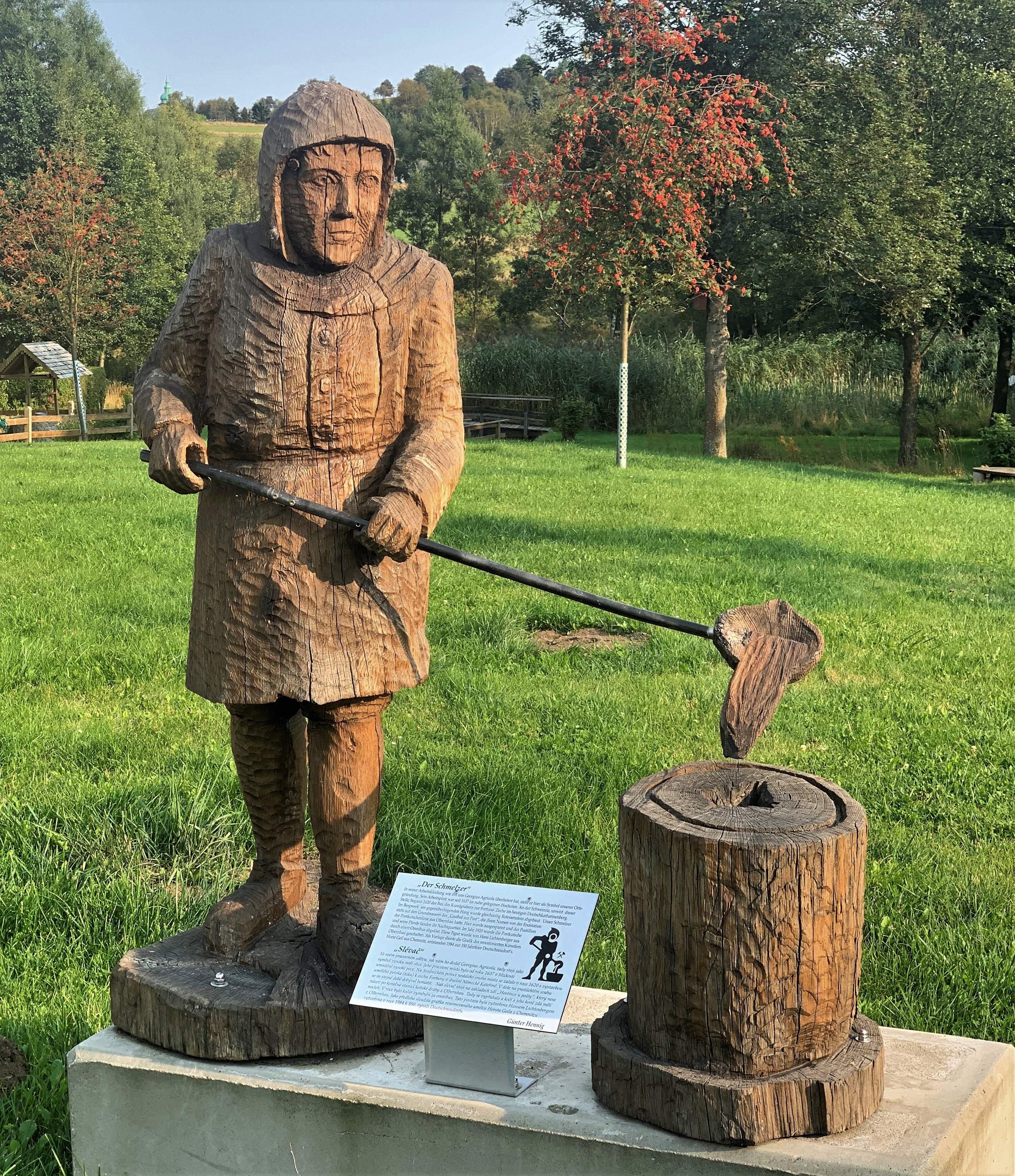
Uranium ore mining in the former GDR, as well as the subsequent remediation of its environmental legacies, are closely associated with the "Wismut" company. The extraction of uranium ore in these mining regions significantly affected local landscapes, industries, and the living conditions of residents. The resulting consequences – including alterations to spatial structures, health risks, environmental and mining-related damage, and significant social changes – remain substantial and continue to influence both the environment and communities within the region today.
This project, which is part of the DIKUSA joint initiative, aims to present the transformation of a mining landscape in Saxony using landscape information. Temporary perspectives from the past, present, and future are provided to facilitate understanding of the development of specific landscape sections, related processes, and challenges currently faced and anticipated in the future. The project features an interactive map that displays various perspectives on a former mining area of SAG/SDAG Wismut.
The various perspectives will be presented through intermedial approaches utilising documents (such as environmental reports and remediation records), audiovisual materials (including historical recordings), photographs (for example, aerial images), visual artworks and objects (sourced from relevant art collections), as well as personal accounts (drawn from diaries and interviews with contemporary witnesses). This comprehensive reappraisal builds upon insights gained during the completed Wismut Heritage Research project. In this foundational initiative, the Saxon Academy of Sciences and Humanities in Leipzig systematically surveyed, documented, and enhanced the scientific accessibility of the Wismut heritage by developing an organised overview of sources relating to "Wismut" within a research context.
Following the initial phase, primary data from a mining region in Saxony will be collected and integrated into the research environment (in German). This process involves further technical infrastructure development. The objective is to document the mining landscapes within the research environment using the established ontology, georeference them, and associate them with relevant archival materials. By linking the research environment to the central reconciliation service of the DIKUSA project, authority data can be compared and additional connections to other datasets are facilitated.
Within an interactive map, changes in the mining landscape are recorded using both established research findings and newly generated primary data. This enables the visualization of the historical and developmental identity of specific landscape sections. By employing this intermedial methodology, past states and potential future scenarios of a region are presented interactively, highlighting both the forthcoming challenges and opportunities associated with each landscape section.
Project running time: 01.02.2022 bis 31.12.2025
Cooperation partners:
Saxon State and University Library (SLUB)
Leibniz-Institut für Länderkunde (Leibniz Institute for Regional Geography, IfL)

The project is co-financed by tax revenue based on the budget approved by the Saxon State Parliament.
Contact details
Sächsische Akademie der Wissenschaften zu Leipzig
Landschaft als KulturErbe
Helmholzstr. 3
01069 Dresden
dittrich@saw-leipzig.de